Choose the experience before you choose the transport
Choose the day before transport: a low-effort river-and-forest walk, the sustained Ak-Say Waterfall hike, or a guided outing that bundles the access chain. The choice sets footwear, daylight and the return margin.
The valley suits a first mountain day or mixed fitness; Ak-Say suits prepared walkers with a clear uphill objective; guided travel suits anyone who does not want to coordinate the gate, internal shuttle and return.
Plan the gate, internal shuttle and trailhead separately
Follow the access chain in order: Bishkek → lower park checkpoint → admission → internal electric bus → Alplager / walking start. Allow about 1–1½ hours each way for the city-to-gate journey and roughly 20–25 minutes for the uphill bus plus waiting. The Ak-Say ascent starts from the upper walking area, not the city-bus stop at the lower checkpoint.
The reported adult admission is 250 KGS from 8 June 2026. Ask the park whether the internal shuttle is included and what it costs on your day. The separate 880 KGS figure is private electric-vehicle access per vehicle, not a per-person shuttle fare. A cable-car ride is separate.
Fuel-powered cars have been restricted inside the park since May 2025, so an ordinary taxi reaches the lower access point rather than the independent trail. Ask for the last return time and leave enough margin to reach the lower gate for the city journey back. Use the day-trip cost comparison to add admission, city transport, the return and any selected guided option without counting the same inclusion twice.
Pick bus 1, a return vehicle or a guided transfer
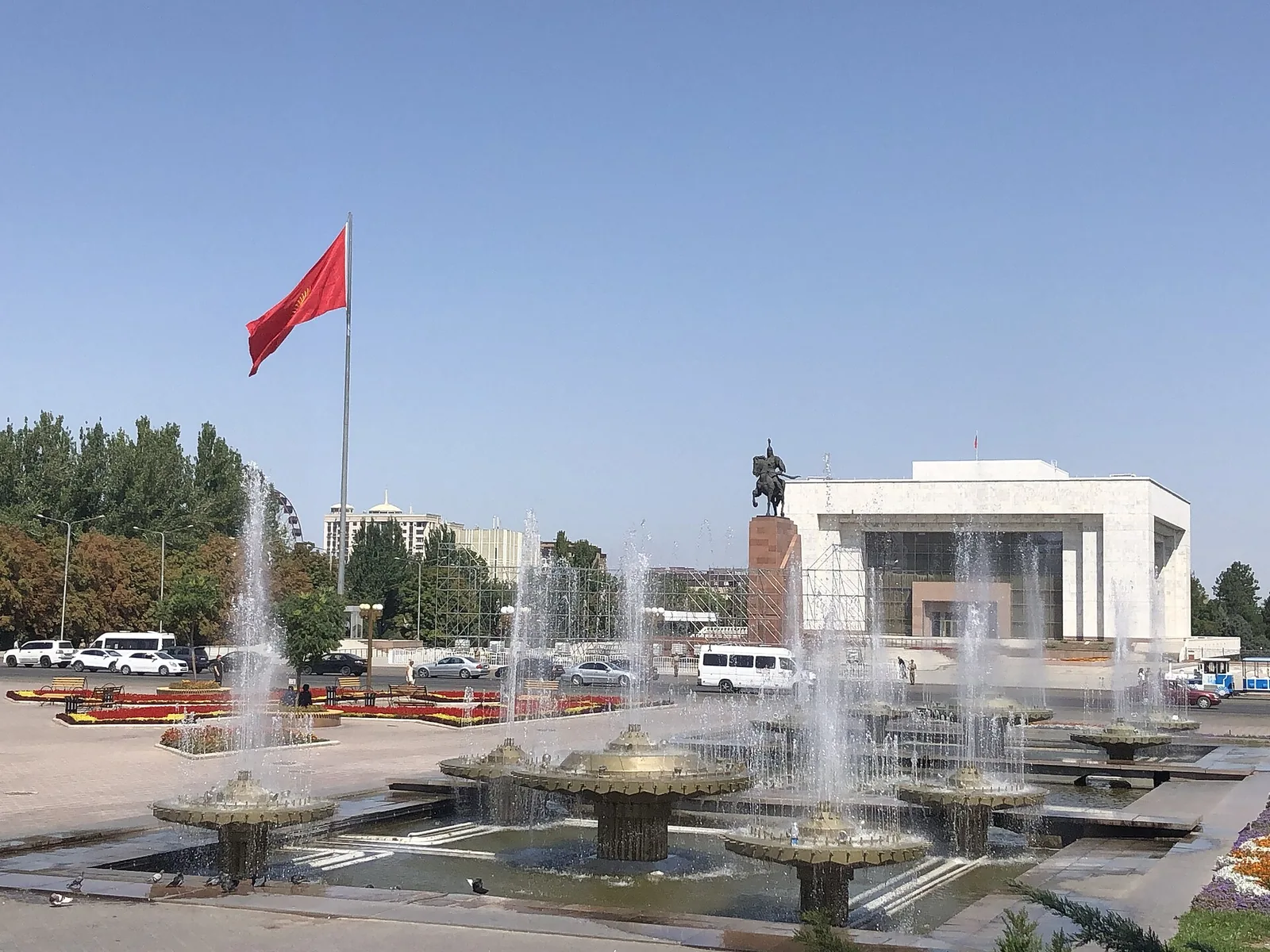
City Hall’s route 1 notice places the city terminus at T. Usubaliev Square, by Erkindik Boulevard and Abdymomunov Street, behind the History Museum. Its 2025 service announcement lists 08:00–19:00 operation, 20–30-minute intervals and 40 KGS cashless one way. Plan the journey in 2GIS using route 1 and the park terminus; the subsequent route notice changes the southern approach, not the need to reach the lower park entrance.
A funded Tulpar card is the simplest payment preparation. Tulpar also explicitly supports its app’s vehicle-code payment on route 1: enter the code displayed in the bus and show the paid receipt. Ordinary city-bus free transfers do not apply. Prepare cashless payment and ask for the actual last park departure before starting the walk.
For a weekend return, reach the lower gate before the late-afternoon rush when possible. Kaktus reported queues forming around 16:00–17:00 on 4 October 2026; passengers sometimes needed several buses. An arranged return vehicle is the easier independent choice for Ak-Say or a group, because the longer hike leaves less spare time for a queue.
The selected GetYourGuide walking tour lists hotel pickup/drop-off, guide, admission and park shuttle, for a shorter walk to Broken Heart rock. Choose the independent Ak-Say route for the waterfall. The cable-car tour is a different panoramic-view and easy-walk product.
Match the walking goal to your group
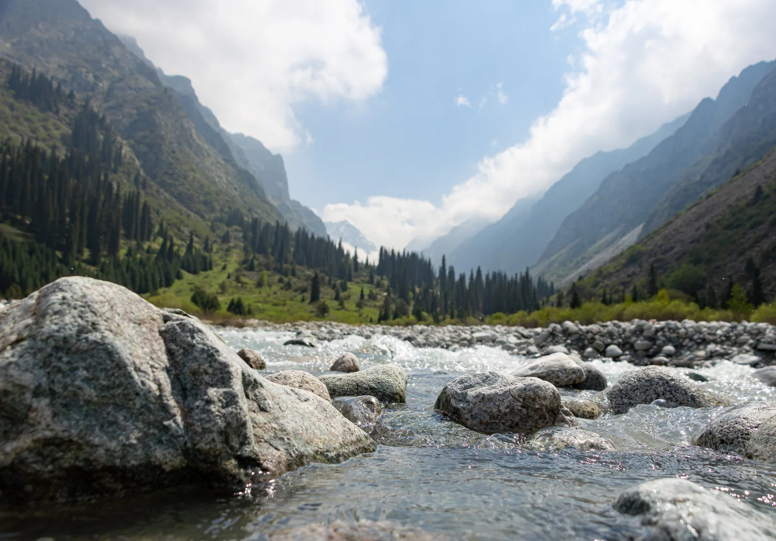
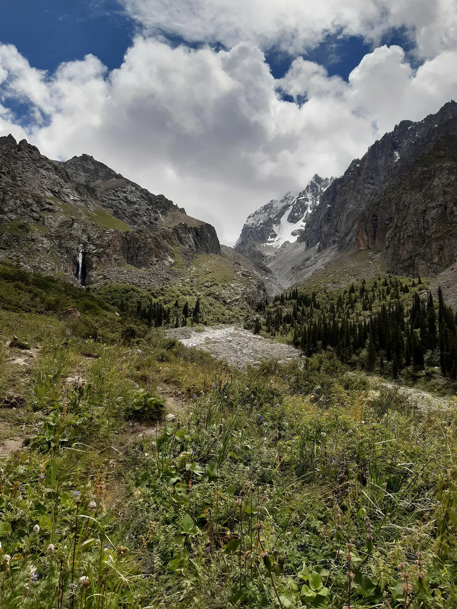
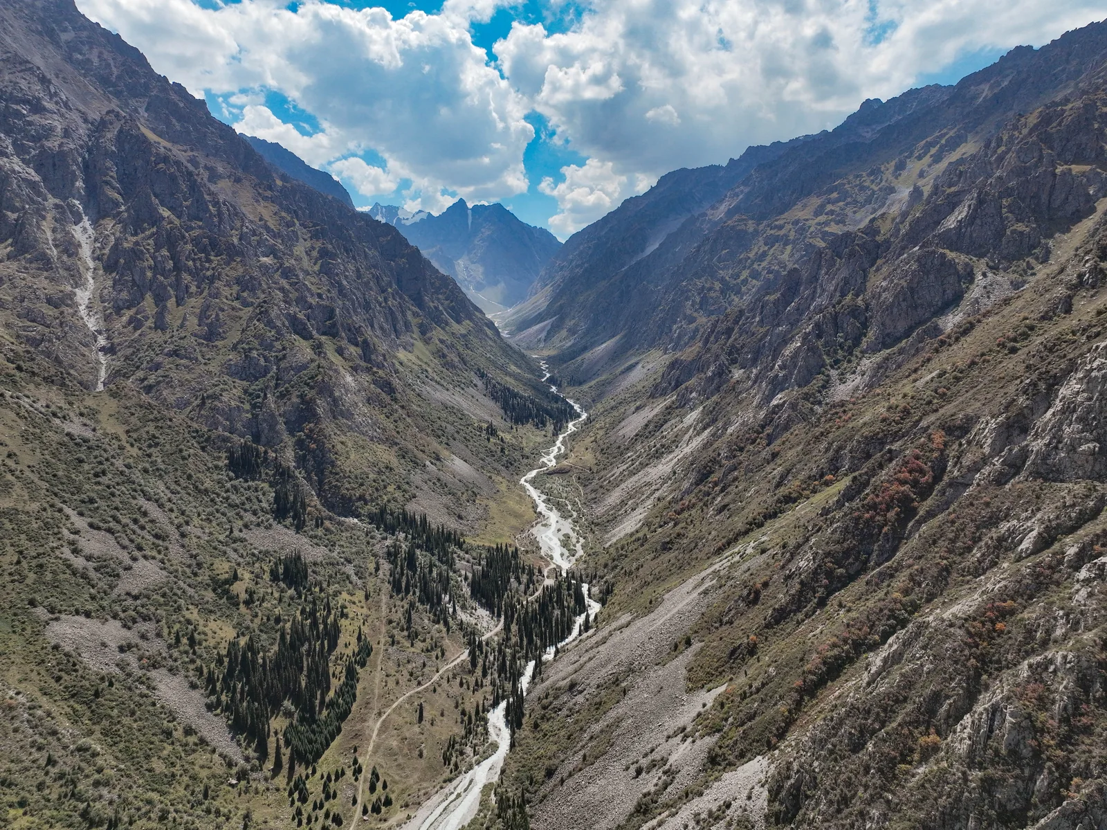
For the low-effort version, take the internal electric bus to Ala-Archa Mountaineering Camp, the final bus stop described by the current route inventory. Follow the paved road until it makes a sharp left into Ak-Say, cross the small bridge over the Ak-Say tributary, then continue straight upstream along the main Ala-Archa valley. Walk through the grove and use the Yellow Bridge across the main river as a clear turnaround; retrace the same way for a flexible 2–3-hour outing. Do not cross the first bridge over the main Ala-Archa near the start: it leads onto the less useful side for this short route.
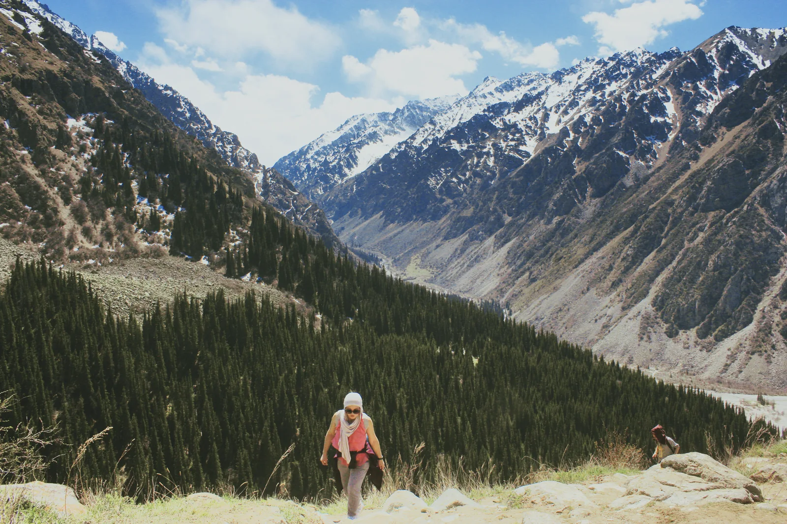
The Ak-Say Waterfall route starts from the same park access chain and is 4,300 m one way, about 2 hours 30 minutes one way and +700 m in the current route inventory. That is roughly 8.6 km on foot for the return before breaks, so plan about 4–6 hours of walking. Ratsek Hut and higher alpine routes are separate objectives; do not treat them as an automatic extension of a city day.
Pack for a mountain day, then shorten it when conditions demand
Mountain weather can change faster than the city forecast suggests, and higher routes can hold summer snow. Take grippy shoes, a warm layer, waterproof protection, food, water, sun protection, a charged phone with an offline map and a headlamp. Set a turnaround time before the climb so the internal shuttle and city return remain possible.
Keep to the non-technical route that suits your equipment and experience. Follow the route signs and park instructions, and keep the city route available when weather or transport removes the margin for the walk you planned.
Keep a city day as the useful fallback
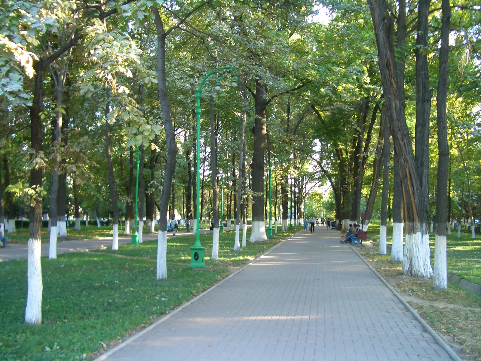
A museum-and-food day is a useful alternative when mountain conditions are poor. The Fine Arts Museum lists regular opening Tuesday–Sunday, 10:00–18:00; check for exceptional closures on your date. On Monday it is outside its regular opening days: keep a rest-and-food day and move Ala-Archa to a better weather or transport window when the itinerary allows. Add a short Oak Park walk only if city weather permits; in severe weather, do not treat an outdoor route as the fallback.
Save the accommodation, provider and insurer contacts offline. Kyrgyzstan’s emergency number is 112, but reception and access in the mountains vary; solve the return chain before leaving the city.
View route map
Visual planning
Bishkek to Ala-Archa
A geographic view of the city-to-park journey. The park marker is the Mountaineering Camp / walking-start area; the gate, internal transfer and trailhead remain separate planning stages.
The interactive map uses OpenStreetMap data.
Open this area in OpenStreetMap ↗- 1BishkekStart and return base
- 2Ala-Archa walking startMountaineering Camp / final internal bus stop, not the entry checkpoint
Compare all walking and transport details
| Plan | Known planning numbers | What it solves | Main trade-off |
|---|---|---|---|
| Valley / recreation area | Plan 1–1½ hours each way to the lower gate, internal transfer and 2–3 hours for the valley outing | Mountain scenery with a flexible walking goal | You arrange the city return and allow for internal-bus waiting |
| Ak-Say Waterfall | 4.3 km one way · about 2h30 · +700 m; about 8.6 km return before breaks | A clear objective for prepared walkers | Sustained uphill day and less margin for late transport |
| Walking-focused GetYourGuide tour | Listed 5–7 hours; pickup/drop-off, guide, admission and park shuttle listed | One booking handles the linked access steps | Short guided walk to Broken Heart rock; choose Ak-Say separately for the waterfall |
| Cable-car GetYourGuide tour | Cable-car and panoramic-view focus | A different, easier mountain experience | Choose this for cable-car views and an easy walk; choose Ak-Say separately for the waterfall |
Valley / recreation area
- Known planning numbers
- Plan 1–1½ hours each way to the lower gate, internal transfer and 2–3 hours for the valley outing
- What it solves
- Mountain scenery with a flexible walking goal
- Main trade-off
- You arrange the city return and allow for internal-bus waiting
Ak-Say Waterfall
- Known planning numbers
- 4.3 km one way · about 2h30 · +700 m; about 8.6 km return before breaks
- What it solves
- A clear objective for prepared walkers
- Main trade-off
- Sustained uphill day and less margin for late transport
Walking-focused GetYourGuide tour
- Known planning numbers
- Listed 5–7 hours; pickup/drop-off, guide, admission and park shuttle listed
- What it solves
- One booking handles the linked access steps
- Main trade-off
- Short guided walk to Broken Heart rock; choose Ak-Say separately for the waterfall
Cable-car GetYourGuide tour
- Known planning numbers
- Cable-car and panoramic-view focus
- What it solves
- A different, easier mountain experience
- Main trade-off
- Choose this for cable-car views and an easy walk; choose Ak-Say separately for the waterfall